Easiest
By minibus
The site's day trip
- StopsEvery named halt
- Longest20 minutes
- RainRuns anyway
Choose your stop
Day trip from Salta to Cafayate
★ 4.4 · 494 written reviews
View 34 stops
First pick a route, then tap any pin or stop for details and Google Maps.
A deep, closed canyon that narrows to a chute you can scramble into.
Google MapsA tube-shaped hollow with near-perfect acoustics, cut by glacial meltwater.
Google MapsA crescent-shaped rise of volcanic deposits along a fault.
Google MapsA rock that wind and rain shaped into a toad.
Google MapsA rock figure the site's day trip passes with a 5-minute photo stop.
Google MapsA roadside stop the site's day trip passes, with 5 minutes for photos.
Google MapsMineral-rich limestone where a gypsum plant once worked.
Google MapsSoft red rock carved into a free-standing pillar.
Google MapsRock windows the site's day trip passes, with 5 minutes for photos.
Google MapsCastle-like towers; one, known as El Titanic, collapsed near km 19 of the highway.
Google MapsRed rock on the guided walk from El Paso to La Yesera.
Google Maps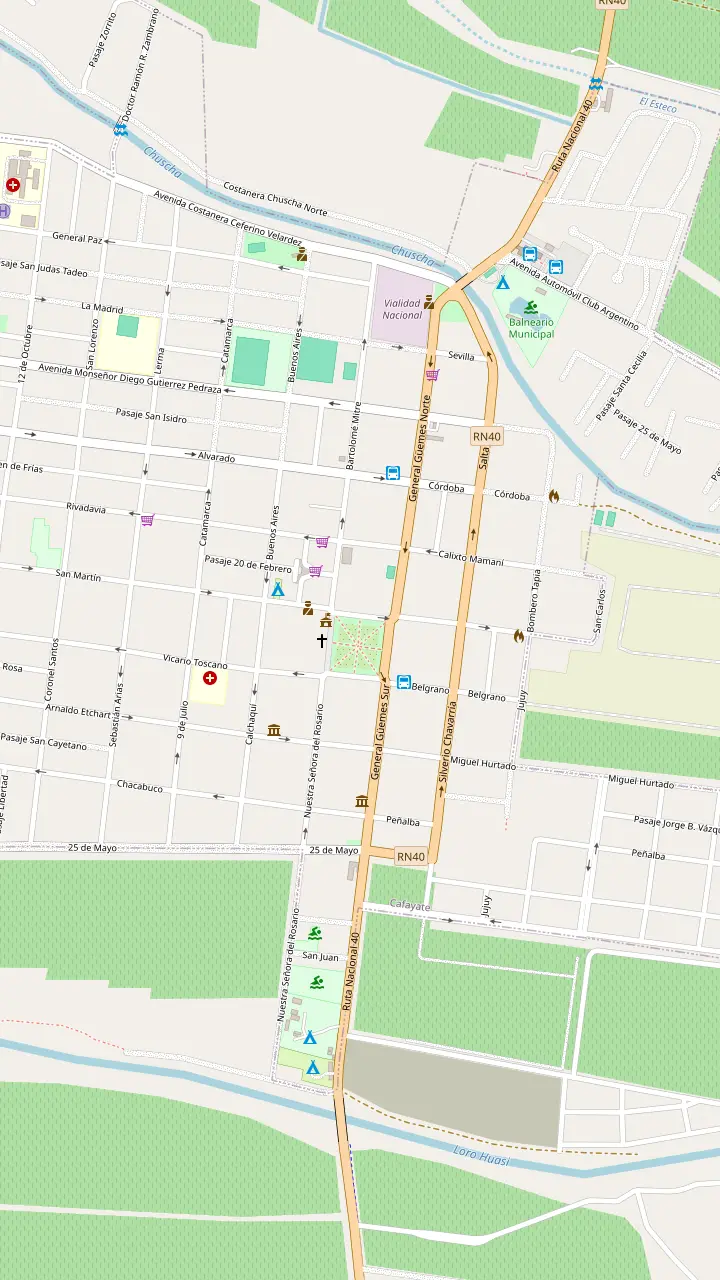
The main square, where the town's sightseeing bus starts.
Google MapsBuilt in 1885, one of the few South American churches that keeps its five original naves.
Google MapsOpen Tuesday to Sunday, 09:00 to 18:00; a self-guided visit of 30 to 60 minutes.
Google MapsCraftspeople show the old techniques behind their pieces.
Google MapsA small arcade of craft stalls by the main square.
Google MapsThe town's tourist information office, a short walk from the square.
Google MapsA silver workshop on the town's sightseeing bus route.
Google MapsA winery in town: tanks, oak vats, concrete eggs and the old cellar; book ahead.
Google Maps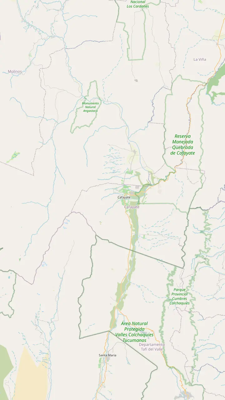
Dunes up to 15 m high, 6 km from town, for walks and sunset guitar sessions.
Google MapsA rock-art circuit at El Divisadero, 6 km from the centre.
Google MapsWaterfalls on the Río Colorado, reached from El Divisadero.
Google MapsVineyards 6 km northwest of the centre, with a wide view over the valley.
Google MapsHome of the oldest winery in the area, more than 70 years old.
Google MapsThe oldest town in Salta province, at 1,624 m.
Google MapsA village 14 km south, near the remains of a pre-Hispanic town.
Google MapsThe last stronghold of the Quilmes people, open daily 08:30 to 18:00.
Google MapsTilted rock blades forming passes with walls about 20 m high.
Google Maps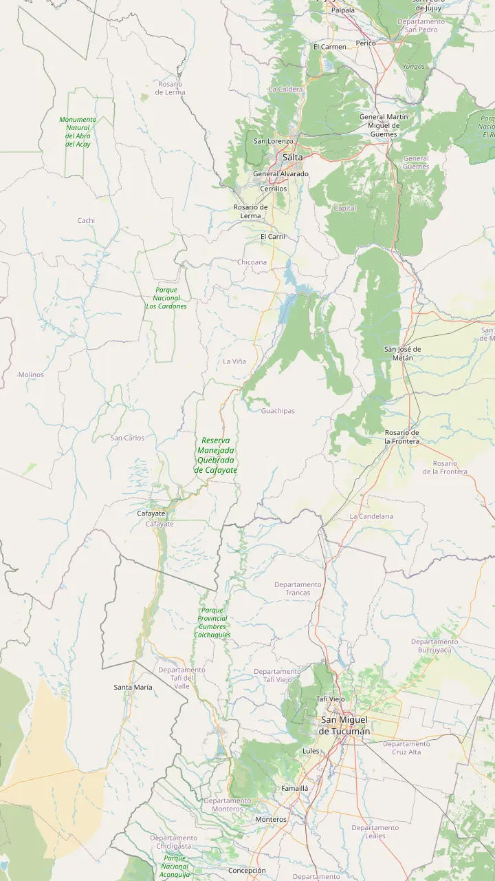
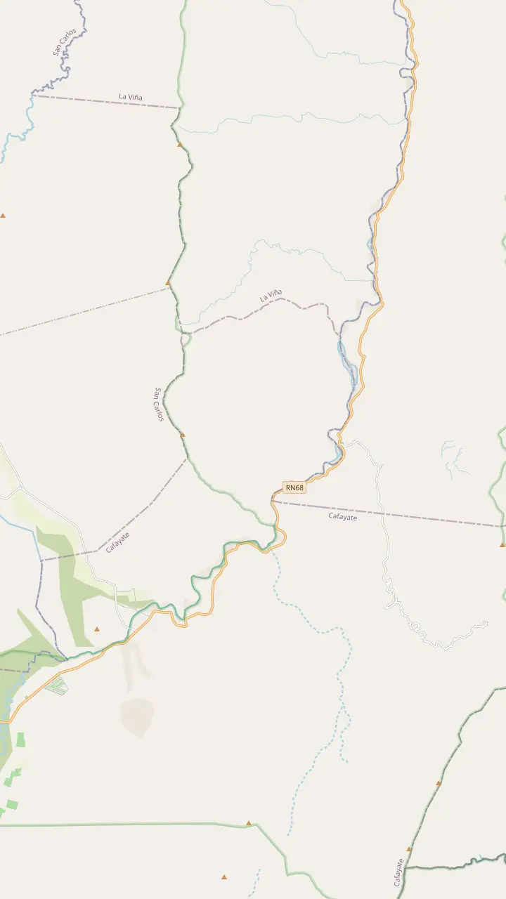
Where the day trip starts; Cafayate lies 186 km south.
Google MapsWater crossed the highway near here during one storm alert.
Google MapsA village on the highway just north of the gorge.
Google MapsA deep, closed canyon that narrows to a chute you can scramble into.
Google MapsThe second tourist centre of Salta province.
Google MapsFrom here a provincial road leads towards the Quilmes ruins.
Google MapsThe capital of Tucumán province, east of the valleys.
Google Maps© OpenStreetMap contributors, map data
Every Quebrada de las Conchas tour from Cafayate or Salta follows one highway through a red canyon. Here is what each stop is, how the rock got its colours and how long the day gives you at each.
Editorial team, cafayatetour.click · Updated November 11, 2026 · 7 mins to read
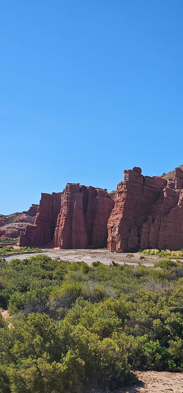
The Quebrada de las Conchas is not a detour from the drive to Cafayate: it is the drive. Cafayate lies 186 km from the city of Salta and the main way in is National Route 68, straight through the gorge.1 The province protects the canyon as a natural reserve of about 25,874 hectares spread over La Viña, Guachipas and Cafayate.2 Salta's tourism ministry calls it a natural corridor between the capital, the Calchaquí Valleys and the Andes.4
It is also the busiest piece of protected land in the province.5 The same ministry counts 27% of all tourists arriving in Salta among its visitors.3 That number explains the traffic you meet at the headline stops in the middle of the day, and it is why the order and length of each stop matter more than they would on a quiet road. Most people see the gorge from a minibus window first and on foot only in short bursts, so it pays to know which bursts deserve your time.
If you book the Cafayate day tour from Salta that this site sells, the gorge takes up most of the morning. The listing gives 2 hours on the coach before a short café break, then a string of stops: 20 minutes at the Devil's Throat, 20 at the Amphitheatre, 15 at the Tres Cruces viewpoint and quick 5-minute halts at the smaller rock figures. On the way back the bus returns by the same road, so you get a second, faster look in the afternoon light.
Know what you are looking at
| Stop | What it is | How it formed | Stop length |
|---|---|---|---|
| Garganta del Diablo | Closed canyon | Glacial meltwater falls | 20 minutes |
| El Anfiteatro | Natural amphitheatre | Glacial meltwater falls | 20 minutes |
| Tres Cruces | Crescent ridge | Volcanic deposits on a fault | 15 minutes |
| El Sapo | Toad-shaped rock | Wind and rain | 5 minutes |
| La Yesera | Striped slopes | Mineral-rich limestone | 10 minutes |
| El Obelisco | Rock pillar | Soft red rock eroded | 5 minutes |
| Los Castillos | Rock towers | Wind, rain, river, tremors | 10 minutes |
Geology from Salta's tourism ministry; stop lengths from the site's day trip listing.7,10,11,12,13,14
The most famous stops sit close together at the northern end, and they share a story. In the last half million years the region went through five glacial periods.6 When that ice melted, huge waterfalls ground into the rock and left two hollows behind: one is the Anfiteatro, the other the Garganta del Diablo.7 Standing in either, you are inside the plunge pool of a waterfall that no longer exists.
The Garganta del Diablo, the Devil's Throat, is a deep, closed canyon whose far end looks like a windpipe and seems to invite you to climb.8 The walls are banded and tilted, and the colour shifts from rust to cream as you walk in. The site's day trip gives it 20 minutes with a short walk. Use them to go as far in as the path allows rather than photographing the entrance: the scale only shows once the walls close around you.
El Anfiteatro, the Amphitheatre, is the stop people remember for sound. Its curved, tube-like shape gives almost perfect acoustics, so a voice or a guitar carries without any amplification.9 It also gets 20 minutes on the itinerary, with free time to wander. Step to the back wall, stay quiet for a moment and listen to how the noise of the road outside simply drops away. Then clap once; acoustics like these are why it is called an amphitheatre.
Time on the ground
Stop lengths as the GetYourGuide listing for the site's day trip gives them; the bus decides the exact time on the day.
Heading south, the Tres Cruces viewpoint is the stop for the wide view. Geologists describe it as a crescent-shaped rise built from pyroclastic deposits, volcanic debris, pressed against a fault.10 The tour gives it 15 minutes with a short walk, which is enough to climb to the crosses and look back up the valley you have just driven. This is the best spot to understand the shape of the gorge as a whole: a river valley squeezed between red ridges.
El Sapo, the Toad, is the first of the named rock figures, a single block that wind and rain wore into the shape of a toad.11 It is a 5-minute photo stop, as are El Fraile, the Friar, and the cliffs called La Casa de los Loros, the parrots' house, which the bus passes slowly. The names are local nicknames rather than scientific labels, and part of the fun is arguing about whether the toad really looks like one.
These short halts are where a little preparation helps. Have your camera ready before the door opens, step off on the side away from the traffic and come back as soon as the guide calls. The road through the gorge is a working highway with trucks, and the figures are best seen from a few metres back anyway, where the whole silhouette fits in the frame and the ridge behind it gives scale.
Pick your gorge day
Match the way you travel to the gorge you will get.
If I have one day and no car
The day trip from Salta
Every main stop is covered and pickup is included.
If I want to walk inside the canyon
A licensed guided trek
The El Paso to La Yesera walk is rated easy.15
If I care most about the colours
Linger at La Yesera
Its limestone holds a wide variety of minerals.12
If I am sensitive to crowds
Go early or late
This is the busiest reserve in the province.5
If Rain is forecast
Go, but stay off flooded roads
Never cross water on the road, however shallow it looks.16
Ways to see it
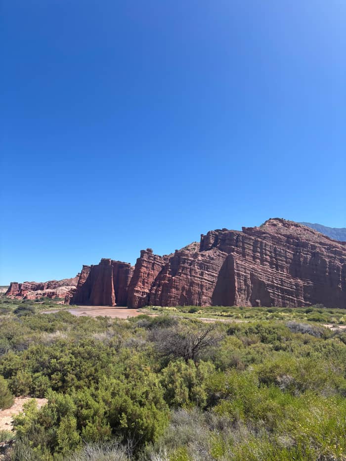
Easiest
The site's day trip
Deepest
Licensed guided trek
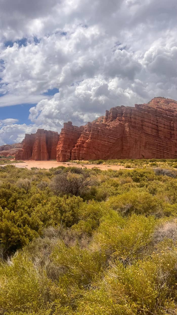
Best colour
Return drive
La Yesera is one of the most colourful stops of the whole excursion, because the limestone there holds a wide range of minerals.12 For years a gypsum processing plant worked on the site, which is where the name comes from.17 Today the area is protected and nothing is mined.45 The tour allows 10 minutes and a short walk, so head straight for the striped slopes behind the parking area.
Closer to Cafayate the shapes get taller. El Obelisco is a relief of soft rock carved out of red layers laid down at the start of the Tertiary era.13 Las Ventanas, the Windows, are openings worn through the rock that the bus passes with a brief photo halt, and Los Castillos, the Castles, are a line of towers and battlements that get a 10-minute stop. In the late afternoon the red rock deepens in colour, which is a good reason to stay awake on the bus going home.
The castles are not permanent. One of their towers, nicknamed El Titanic, collapsed a few metres from km 19 of Route 68.18 A park ranger blamed several forces working together: wind erosion, heavy rain, the Las Conchas river cutting at the base and recent earth tremors.14 It is a useful reminder that every formation on this road is still being shaped, and that the view you photograph today will not look quite the same to the travellers who come after you.
Stop by stop
First stop
20 minutes to walk into the canyon.
Next door
20 minutes; test the acoustics at the back wall.
Viewpoint
15 minutes for the widest view up the valley.
Rock figures
Quick 5-minute photo halts.
Colours
10 minutes among mineral-striped slopes.
Last stretch
10 minutes before the road reaches the vineyards.
The colours are chemistry. The red, common in the Cretaceous and Tertiary formations of northwest Argentina, comes from ferric iron oxide in rocks that formed in dry, oxygen-rich conditions on land.46 Green bands come from iron in its ferrous state and usually mark sediments laid down under water, in old seas or lakes.47 Grey layers turn yellowish once exposed to air, which is what happens to the Yacoraite formation.48
The river that carved all this has its own story. The Santa María river flows in from Catamarca and meets the Calchaquí, which rises on the Nevado de Acay at about 5,950 m.49 Their meeting creates the Río de las Conchas, also known as the Río Guachipas.50 The gorge and the river share a name, and most of what you see from the bus is the work of that one stream, helped by wind and by the glacial floods of the distant past.
At the Cafayate end the rock gives way to sand. Between the town and the junction of the Santa María and Calchaquí rivers lies a dune field.51 Its dunes reach 15 metres and the field covers roughly 20 square kilometres.27 That sandy, mica-rich ground matters for the wine you taste later: it drains fast, so the vines hold little water and the grapes concentrate sugar.52 The mica even reflects sunlight back up, warming the vines from below.53
Video
David Elliott on YouTube · Your tap on play is what loads the video.
When these glaciers melted they formed huge waterfalls that wore away the rock, carving two magnificent hollows: one is the Amphitheatre and the other is the Devil's Throat.
Before you go
A bus gives you the highlights; your feet give you the gorge. Salta's official experiences platform lists a licensed guided trek from El Paso to La Yesera that takes about 3 hours 45 minutes and is rated easy.15 It passes Los Colorados, El Obelisco, Las Ventanas, Los Castillos, Los Estratos and La Yesera.19 Halfway along, a viewpoint opens over the whole canyon.54 Going with a licensed guide is also what the province advises whenever you hire tourism services.55
Locals read the weather off the hills. People in Cafayate say that by looking at El Zorrito they can tell whether the day will be hot or cold, wet, or blown by the Zonda wind.56 A hat of cloud above the summit means rain.57 It is folklore, and a good reason to glance at the hills before you set off on foot.
Real storms do close the way. During one weather alert, Salta's tourism ministry relayed road-authority reports of water across Route 68 between La Viña and Coronel Moldes.41 Its advice is plain: never drive into water covering the road, however low it seems, because the current can carry a car off suddenly.16 The site's day trip is not cancelled for rain, so pack a layer and let the driver decide the pace.
FAQ
On the site's day trip the stops run from 5 to 20 minutes each, inside a 12-hour day from Salta.
The tube-like hollow gives almost perfect acoustics, so sound carries without amplification.9
A licensed trek from El Paso to La Yesera takes about 3 hours 45 minutes and is rated easy.15
The reserve covers about 25,874 ha across La Viña, Guachipas and Cafayate.2
The site's day trip is not suspended for rain or bad weather.
Ferric iron oxide colours rocks that formed on dry land in oxygen-rich conditions.46
Sources
Read next
Riding from Salta to Cafayate? Ask a real person.