History
Quilmes ruins
Tucumán province
- Fell1667
- Open08:30 to 18:00
- EntryARS 10,000 foreigners
Choose your stop
Day trip from Salta to Cafayate
★ 4.4 · 494 written reviews
View 34 stops
First pick a route, then tap any pin or stop for details and Google Maps.
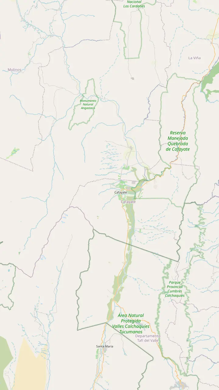
Dunes up to 15 m high, 6 km from town, for walks and sunset guitar sessions.
Google MapsA rock-art circuit at El Divisadero, 6 km from the centre.
Google MapsWaterfalls on the Río Colorado, reached from El Divisadero.
Google MapsVineyards 6 km northwest of the centre, with a wide view over the valley.
Google MapsHome of the oldest winery in the area, more than 70 years old.
Google MapsThe oldest town in Salta province, at 1,624 m.
Google MapsA village 14 km south, near the remains of a pre-Hispanic town.
Google MapsThe last stronghold of the Quilmes people, open daily 08:30 to 18:00.
Google MapsTilted rock blades forming passes with walls about 20 m high.
Google Maps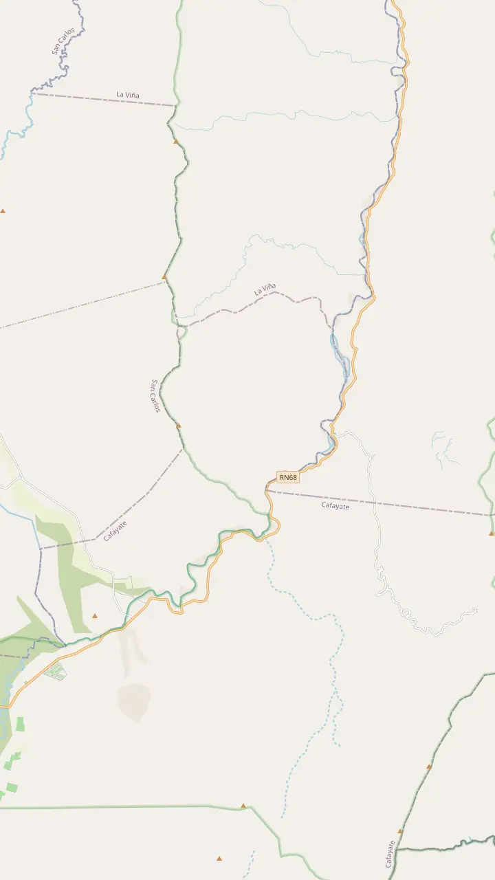
A deep, closed canyon that narrows to a chute you can scramble into.
Google MapsA tube-shaped hollow with near-perfect acoustics, cut by glacial meltwater.
Google MapsA crescent-shaped rise of volcanic deposits along a fault.
Google MapsA rock that wind and rain shaped into a toad.
Google MapsA rock figure the site's day trip passes with a 5-minute photo stop.
Google MapsA roadside stop the site's day trip passes, with 5 minutes for photos.
Google MapsMineral-rich limestone where a gypsum plant once worked.
Google MapsSoft red rock carved into a free-standing pillar.
Google MapsRock windows the site's day trip passes, with 5 minutes for photos.
Google MapsCastle-like towers; one, known as El Titanic, collapsed near km 19 of the highway.
Google MapsRed rock on the guided walk from El Paso to La Yesera.
Google Maps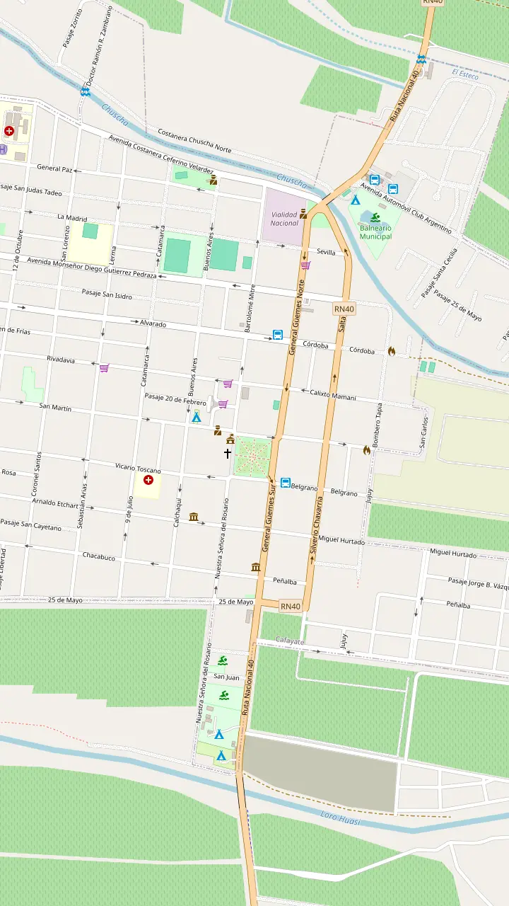
The main square, where the town's sightseeing bus starts.
Google MapsBuilt in 1885, one of the few South American churches that keeps its five original naves.
Google MapsOpen Tuesday to Sunday, 09:00 to 18:00; a self-guided visit of 30 to 60 minutes.
Google MapsCraftspeople show the old techniques behind their pieces.
Google MapsA small arcade of craft stalls by the main square.
Google MapsThe town's tourist information office, a short walk from the square.
Google MapsA silver workshop on the town's sightseeing bus route.
Google MapsA winery in town: tanks, oak vats, concrete eggs and the old cellar; book ahead.
Google Maps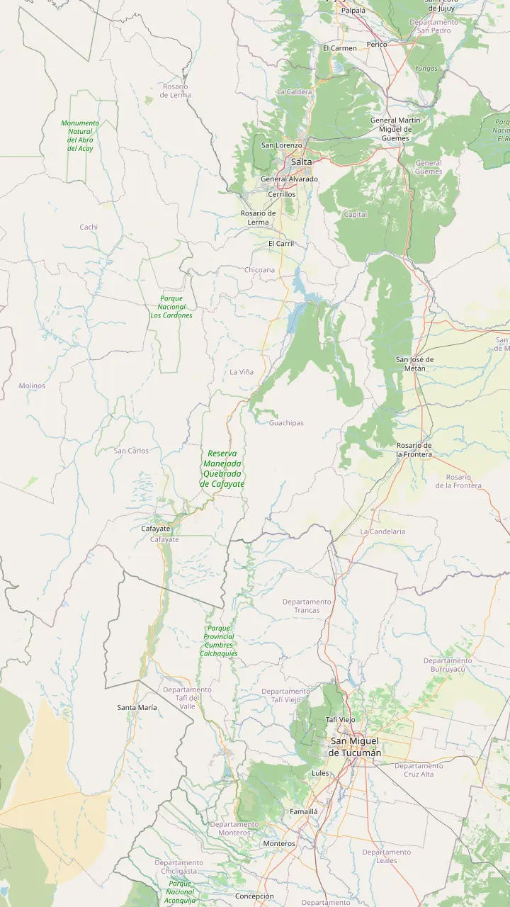
Where the day trip starts; Cafayate lies 186 km south.
Google MapsWater crossed the highway near here during one storm alert.
Google MapsA village on the highway just north of the gorge.
Google MapsA deep, closed canyon that narrows to a chute you can scramble into.
Google MapsThe second tourist centre of Salta province.
Google MapsFrom here a provincial road leads towards the Quilmes ruins.
Google MapsThe capital of Tucumán province, east of the valleys.
Google Maps© OpenStreetMap contributors, map data
Stay longer than a day and the valley opens up. These are the best tours from Cafayate, from dunes and waterfalls a short ride away to the Quilmes ruins and the blade-like rocks of Quebrada de las Flechas.
Editorial team, cafayatetour.click · Updated November 11, 2026 · 7 mins to read
Salta's tourism ministry ranks Cafayate second among the province's tourist centres, and much of that pull comes from the country around it.7 Within a short drive you reach sand dunes, waterfalls, rock art, family wineries, pre-Hispanic ruins and rock formations you will not forget. A day trip from Salta shows you the gorge and the town; a longer stay shows you the valley.
Cafayate tourism is built on small operators, and that is a strength. The Red de Turismo Campesino, a network of rural families, offers half-day and full-day activities and stays of more than two nights, from craft workshops to walks and work in the vineyards.6 Salta's tourism ministry advises visitors to hire only officially licensed services, which it lists on its website.8 Check that list before handing over a deposit.
Most outings fall into clear groups. Close to town are the dunes, El Divisadero and the vineyard parajes, easy by bike, taxi or on foot. South lies Tolombón and, over the provincial border in Tucumán, the Quilmes ruins. North along Route 40 are Animaná, San Carlos and the Quebrada de las Flechas.9 Pick one group per day and you will not spend your holiday in a car.
Choose your outing
| Outing | What you see | How to go | Time |
|---|---|---|---|
| Los Médanos | Dunes, sunset | Bike, taxi, horse | Half day |
| El Divisadero | Rock art, waterfall | Guide on foot | Half day |
| San Luis and Yacochuya | Vineyards, Inca road | Bike | Half day |
| Tolombón and Quilmes | Pre-Hispanic towns | Car or excursion | Full day |
| Animaná and San Carlos | Old wineries, church | Car on Route 40 | Full day |
| Quebrada de las Flechas | Rock blades | Car or excursion | Full day |
Places from Salta's tourism ministry and Tucumán's tourism board; how to go and time needed are our suggestions.1,2,10,3,15,4
The dunes are the easiest escape. Los Médanos lie 6 km from Cafayate and suit walks, guitar sessions at sunset and horse rides by moonlight.1 The sand piles up to 15 metres high, and the dune field covers about 20 square kilometres between the town and the meeting of the rivers.13 Go in the last hour before sunset, when the colours of the valley deepen and the sand cools under your feet.
In the opposite direction, El Divisadero sits 6 km from the centre and packs a lot into a small area: the Cueva del Suri rock-art circuit, wineries, community rural tourism and outings to the Río Colorado waterfall.2 The rock art is easy to miss without help, so go with a local guide who knows where to look. For the waterfall, wear shoes you do not mind getting wet and keep a dry layer in your bag.
This side of the valley suits families with children, because the distances are short and the rewards quick. Pack water, sun protection and a snack, and set off early in summer, when the afternoon heat on open ground is serious. A local guide also helps with the water crossings on the waterfall path, which change with the season and after rain.
A bike tour in Cafayate is the classic way to link wineries without a driver. The vineyard parajes make good targets. Yacochuya lies 6 km northwest of the centre, among wineries with a view over the valley.12 San Luis, 5 km to the west, is a quiet lane of fincas where a river, a shaded acequia and a stretch of Inca road run side by side.10 Rent a bike in town, ride out in the cool morning and taste on the way back.
Serious riders have bigger options. Salta's tourism ministry calls mountain biking in the Quebrada de las Conchas one of the most sought-after routes among cyclists worldwide.18 A mountain bike rally called La Vuelta de las Bodegas, its first edition set for 8 and 9 November, uses circuits of 20 and 40 km past the main wineries.19,20 For a multi-day ride, the valley loop links Cachi, Molinos and Cafayate on Route 40 through the Quebrada de las Flechas.9
Horses are the other traditional way to cross the valley. In Salta, horse riding is open to people from 6 to 90 years old in good physical shape.5 One listed ride from Cafayate heads to El Toldito in 2 hours, welcomes all levels and keeps groups to 8 riders. At the dunes, the province suggests rides by moonlight.1 Wear long trousers and closed shoes, and tell the guide honestly how much you have ridden.
Pick your outing
Choose by time, interest and transport.
If Only a free morning, no wheels
The dunes or El Divisadero
If I love history
The Quilmes ruins
The largest pre-Columbian settlement in Argentina.16
If I want wild landscapes
Quebrada de las Flechas
Rock blades with walls about 20 m high.4
If I want wine with exercise
Bike to Yacochuya and San Luis
If I want something unforgettable
A balloon flight over the vines
A licensed operator flies over the vineyards.17
Highlights
History
Tucumán province
Landscape
North on Route 40
Easiest
Near town
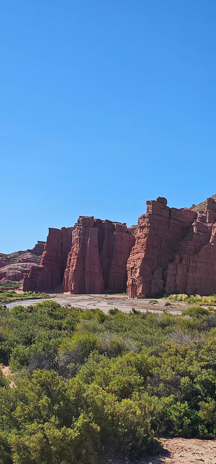
The biggest history lesson in the valley lies south, in Tucumán province. Tucumán's tourism board describes the Sacred City of Quilmes as the remains of the largest pre-Columbian settlement in Argentina.16 Around 800 AD the Quilmes people lived in these mountains, and by the 17th century the town held 3,000 people in its urban core and 10,000 in the surrounding area.51,52
Its end is one of the saddest stories in the country. Quilmes was the last bastion of resistance to the Spanish advance; it fell in 1667, when 1,700 survivors were marched on foot towards Buenos Aires and only 400 arrived.3 Today you can walk through the restored terraces and climb to a viewpoint over the whole valley.53 Next to the site, an interpretation centre tells the life of the Quilmes people in four rooms.54
Plan the visit like a small expedition. The site and centre open every day from 08:30 to 18:00.41 Entry is ARS 10,000 for foreign visitors and ARS 5,000 for Argentines.47 By car, take Provincial Route 307 from Amaicha del Valle for about 15 km to Route 40.43 Drive 3 km north, then turn left onto a dirt road for the last 5 km.55,48 Carry plenty to drink and something to shade your head on the way up.
Price your outing
Choose a valley outing and your party size for its starting price.
Compare all 3 options
Choose a valley outing and your party size for its starting price.
≈
View≈
View≈
ViewStarting prices as on the booking platform, converted at the ECB reference rate. You see the exact price at booking.
An extra day in the valley
Early morning
Ride along the Chusca river and the old Inca road.10
Late morning
Rock art at the Cueva del Suri, then the waterfall.2
Lunch
Empanadas and a glass of Torrontés.11
Afternoon
Wineries with a view over the valley.12
Sunset
Dunes up to 15 m high at golden hour.13
On the way to Quilmes, Tolombón is a small village 14 km from Cafayate.14 At the foot of the Sierra del Cajón nearby lie the remains of a pre-Hispanic town, considered the political capital of the Calchaquí nations and the seat of the chief Juan Calchaquí.40 Ask locally for directions or a guide before you set out to find the ruins.
Tolombón also keeps unusual traditions. In January it holds the Añapa festival, named after a drink made from the fruit of the carob tree.56 Carob is algarrobo in Spanish. The village makes a short, quiet stop on a southbound day.
Combining Tolombón and Quilmes into one outing is the natural plan. Leave Cafayate in the morning, stop in Tolombón on the way, spend the late morning at Quilmes before the midday heat, and return in the afternoon. If you have no car, licensed agencies in Cafayate sell the trip; check the ministry's registry first.8
Video
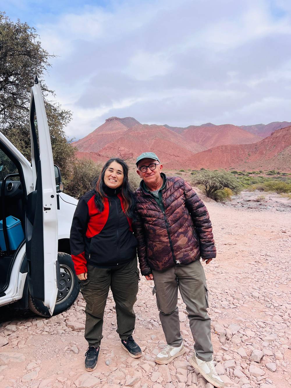
Hum of the Earth on YouTube · Your tap on play is what loads the video.
the last bastion of Aboriginal resistance against the Spanish advance that gave up in 1667, when 1,700 survivors of the Quilmes people were transported on foot to Buenos Aires, where 400 finally arrived
Outing checklist
Heading north up the valley road, the first village is Animaná, home to a winery that has been making wine for over 70 years, the oldest in that part of the valley.15 Here you can join villagers treading grapes for vino patero, the foot-pressed country wine.57 In February the village hosts the Fiesta Provincial de la Vendimia, the provincial harvest festival.58
Next comes San Carlos, at 1,624 m, which the province calls its oldest town.39,38 Its church of San Carlos Borromeo was built from 1801 and is one of the largest in the Calchaquí Valley.59 San Carlos is also known for very artisanal vino patero, so ask at any small cellar whether they still tread grapes the old way.60
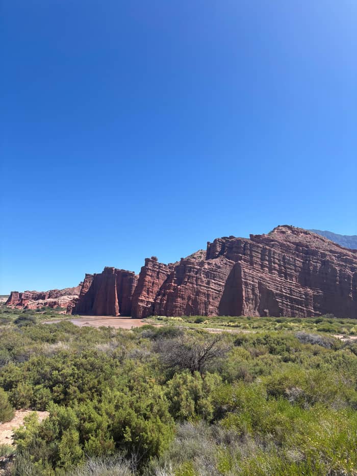
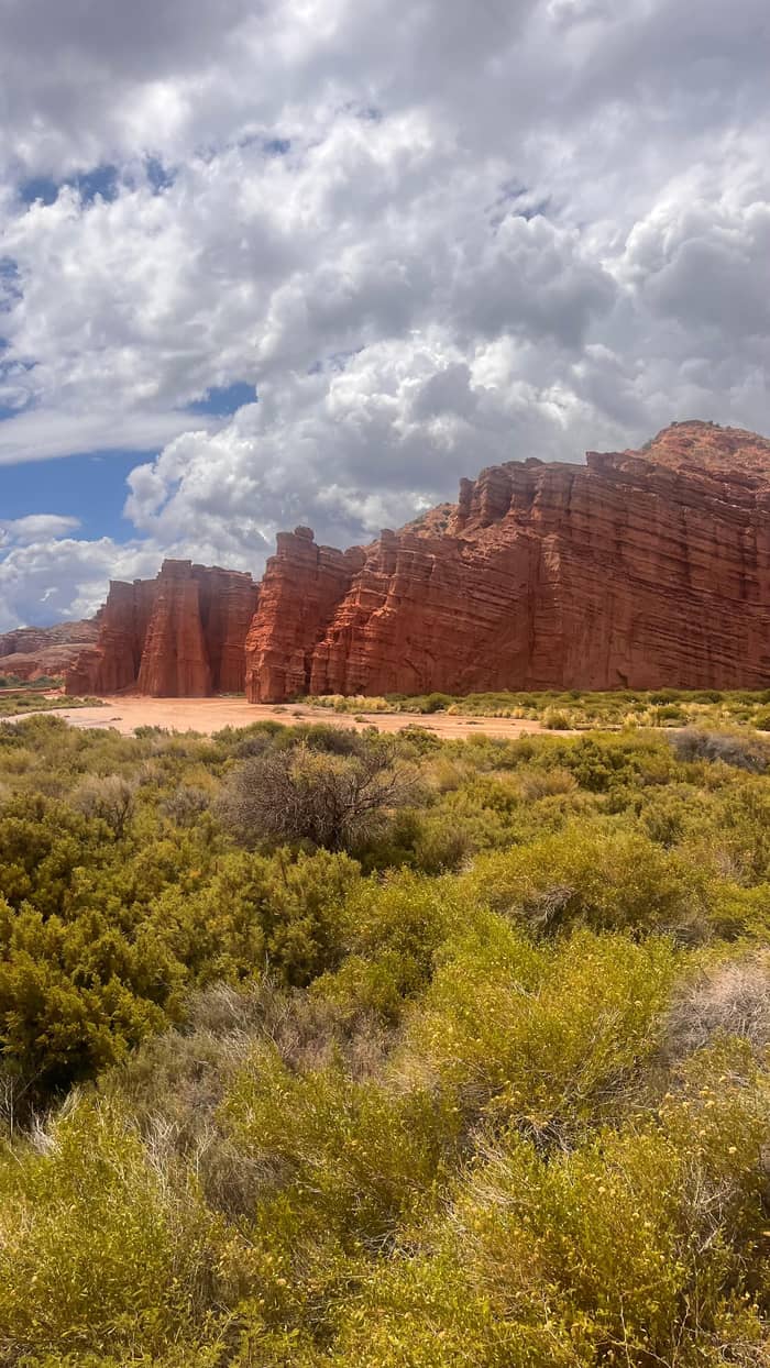
Further north, the Quebrada de las Flechas is the most surreal stretch of the whole valley. Pointed, tilted rock blades form narrow passes with walls about 20 metres high.4 The province declared the area a Natural Monument in 1995, and the protected zone covers 1,200 hectares.61,62 It is a long but rewarding full day from Cafayate, and the natural first leg of the multi-day loop to Cachi.
For the big view, a Cafayate company registered on the province's experiences website flies hot air balloons over the vineyards.17 One listed balloon flight lasts 3 hours with a small group limited to 8 people, from $250. Flights depend on calm air, so leave a spare morning in your plans in case the first one is called off.
Night outings are the other way to see the valley differently. One licensed night-sky photography experience in Cafayate runs in the first hours of the night and at dawn, and asks guests to bring warm clothes.46 Even without a tour, step away from the town lights on a clear night and the sky over the vineyards is spectacular.
And for something completely different, Cafayate has an 18-hole golf course designed by Bob Cupp that hosts national and international tournaments.63 Whatever you choose, use the town's sightseeing bus or a short walk for the closest sights and keep a car or a licensed excursion for the long days north and south. The valley rewards slow travel more than a checklist.
FAQ
The interpretation centre keeps the same hours.41
Argentines pay ARS 5,000 and students and retirees ARS 4,000.47
Horse riding in Salta is open from age 6 to 90 for people in good shape.5
Tilted rocks form passes with walls about 20 m high.4
Balloon flights over the vineyards are listed on Salta's official platform.17
Sources
Read next
Riding from Salta to Cafayate? Ask a real person.